Real estate construction
BIM construction progress management
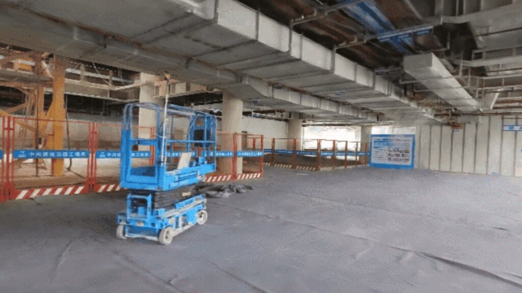
Venue View
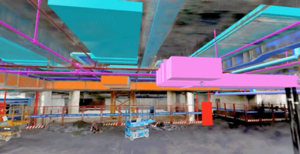
Construction management
Fine restoration of construction site, overlay and comparative analysis of 3D Gaussian model and BIM model, precise monitoring of construction deviations, and improvement of management transparency
Construction progress management is an important part of construction project management, involving various aspects such as planning, organization, coordination, and control of engineering projects.
On site progress visualization display: Realize intuitive visualization of construction site progress, and management personnel can grasp the project progress at a glance.
Data measurement and annotation: Conduct precise measurement and annotation work to ensure that every data item in construction progress management is accurate and error free.
BIM overlay comparative analysis: Overlay and compare BIM design models with real-life model models to quickly identify construction deviations and help adjust construction plans in a timely manner
Efficient
Improve collection efficiency by 5-8 times and quickly complete data collection for complex scenes.
High quality real-life models
The fusion algorithm of laser and visual Multi SLAM avoids missed and erroneous sampling, and quickly generates high-precision real-world models with just one click.
Overlay visualization
The seamless overlay of real-life models and BIM models visually displays the differences between construction progress and design, enabling management personnel to make quick decisions and adjustments.
BIM reverse modeling
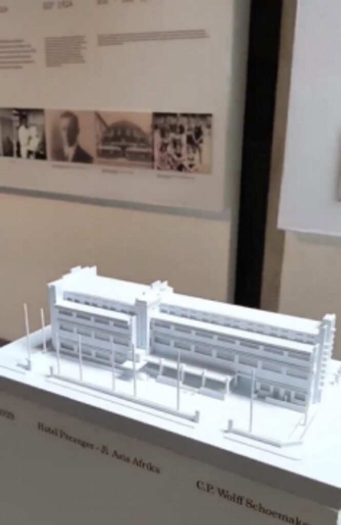
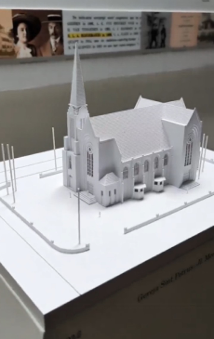
Based on 3D Gaussian technology, the project site is finely reconstructed, and the existing building is reverse reconstructed into a structured BIM model to assist in digital transformation.
Virtual simulation: Scanning complex scenes such as factories and transportation hubs, modeling and generating virtual scenes for virtual training and simulation exercises, improving training effectiveness and safety.
AR/VR relocalization: Collecting indoor and outdoor environmental point cloud data for modeling, providing high-precision maps for AR/VR devices, achieving fast and accurate relocalization, and enhancing immersion.
Digital Twin: Build digital twin models for urban infrastructure, industrial production lines, etc., and monitor, predict faults, and optimize decisions in real-time based on reverse modeling data.
Cultural relic protection: Scanning ancient relics and building models for digital archiving and virtual display, achieving permanent preservation and widespread dissemination of cultural relic information.
Efficient
The collection efficiency has been increased by 5 times, and a single person can complete data collection for complex scenes.
High quality real-life models
The fusion algorithm of laser and visual Multi SLAM generates high-precision real-world models with one click, seamlessly connecting the results with Revit.
Intelligent basic component generation
Combining 3DGS model point selection and parameterized input to achieve precise and efficient semi-automatic modeling workflow.
Visualization of point cloud overlay
The seamless integration of point cloud data and BIM models enables model comparison and dynamic adjustment, quickly optimizing model details and assisting in precise modeling.
Real estate surveying
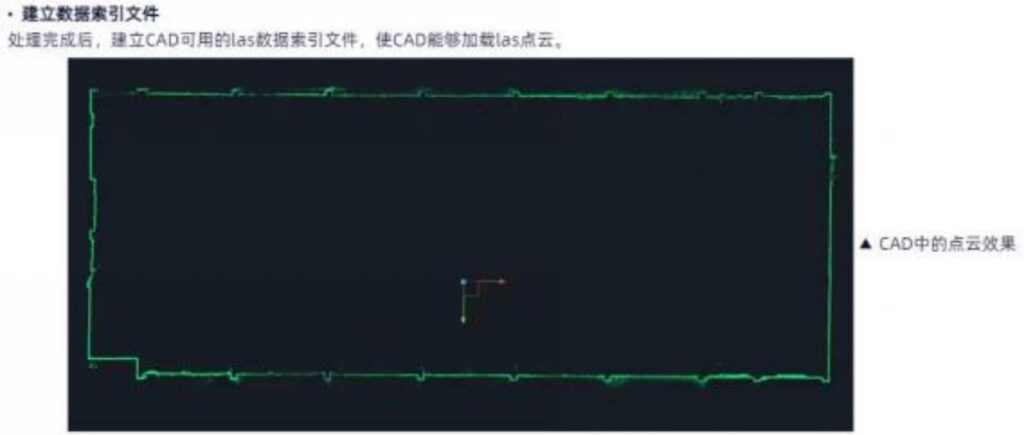
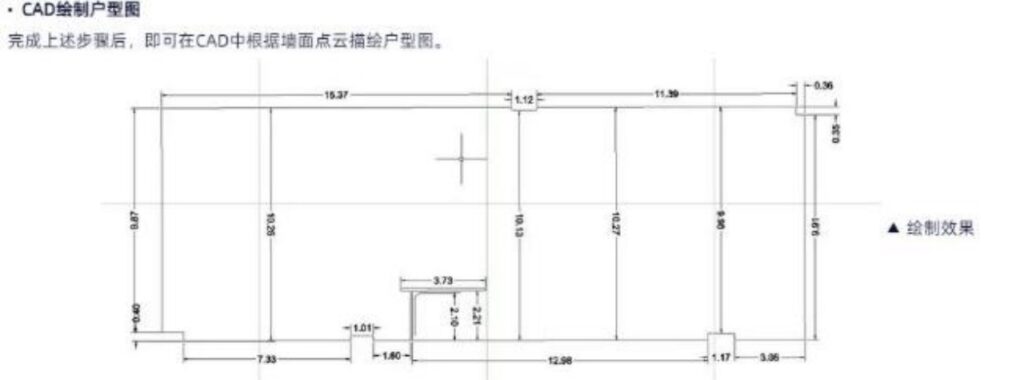
Quickly reconstruct indoor and outdoor integrated 3D models, generate property plans, elevations, and sections, and improve surveying efficiency
Real estate transaction and evaluation: Quickly generate 3D models of real estate, accurately measure the area and spatial layout of the house, provide fair and transparent data support for real estate transactions, and assist in property value evaluation.
Property management and maintenance: Accurately grasping the internal structural information of the property facilitates daily management and maintenance, such as efficient implementation of spatial planning, facility layout adjustment, and maintenance work.
Urban Planning and Construction Management: Provide detailed property data for urban planning departments, support the optimization of urban spatial layout, land use planning, and construction approval processes, and ensure the orderly progress of urban construction
Disaster response and reconstruction planning: After natural disasters or man-made accidents, quickly conduct property surveys, assess damage, and provide accurate basis for post disaster reconstruction planning and resource allocation.
Efficient
The collection efficiency has been increased by 5 times, and a single person can complete data collection for complex scenes.
Convenient collection
Easy field operation, real-time true color point cloud, what is collected is what is obtained; The fusion algorithm of laser and visual Multi SLAM has high point cloud accuracy and precise coloring.
Efficient processing
Support map fusion and multiple data synchronization calculations; One click output of RCP format, directly connected to AutoCAD drawing software.
Rich achievements
The three-dimensional point cloud and model results have rich structures, clear textures, realistic reproduction, and strong data reusability.
Facade measurement
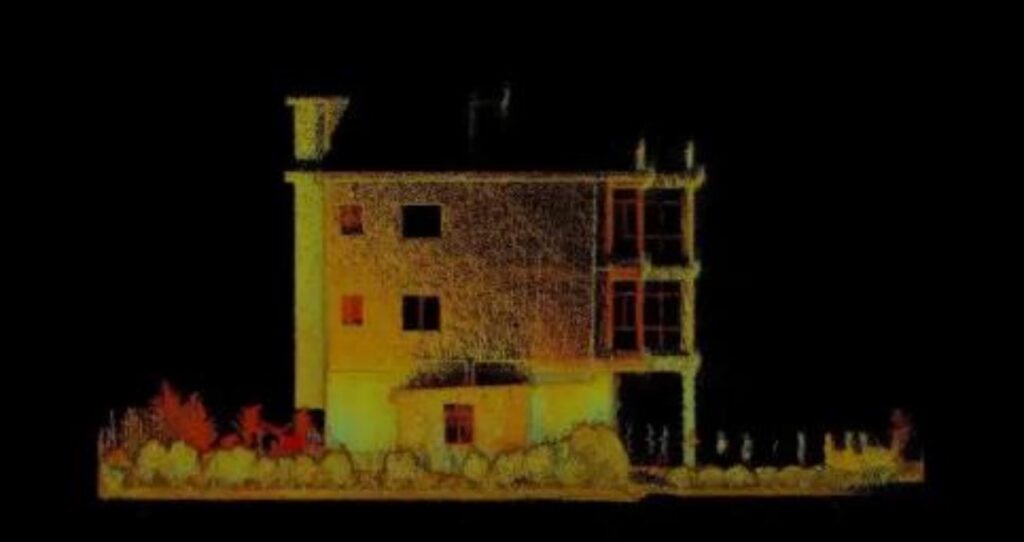
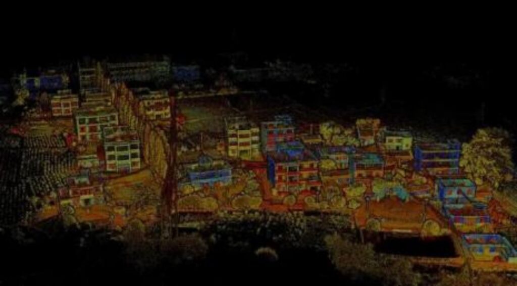
Adopting non-contact and efficient collection, accurately obtaining point cloud and texture information of building facades, and quickly producing high-precision elevation drawings.
Facade measurement mainly serves to provide shape and size information of buildings or other structures in the vertical direction, providing important data support for multiple aspects such as building design, construction, and monitoring.
Urban renewal and old city renovation: Quickly grasp the basic data of old residential areas to provide work basis for construction management.
Architectural protection and preservation of ancient architecture: accurately restore the texture and structural information of buildings, and support restoration and maintenance work.
Quality Control and Disaster Assessment: Accurately measure facade quality and quickly assess building damage and area.
Efficient
The collection efficiency has been increased by 5 times, and a single person can complete data collection for complex scenes.
Convenient collection
Easy field operation, real-time true color point cloud, what is collected is what is obtained; The fusion algorithm of laser and visual Multi SLAM has high point cloud accuracy and precise coloring.
Efficient processing
Support map fusion and multiple data synchronization calculations; One click output of RCP format, directly connected to AutoCAD drawing software.
Rich achievements
Support outputting RCP format files and easily importing into software such as AutoCAD.
Surveying
Topographic surveying
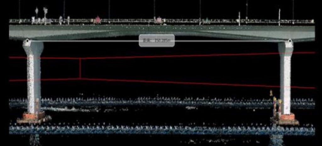
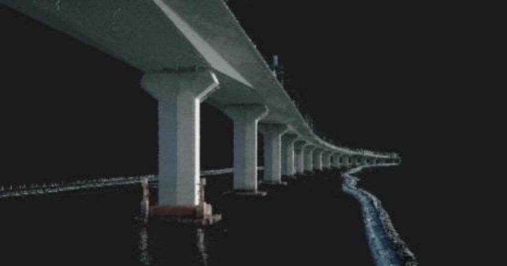
Integrating laser point cloud and visual data, high-precision restoration of digital terrain, suitable for rapid mapping and dynamic deformation investigation of complex landforms.
No fly zones and height restriction zones: such as military restricted zones, airport surrounding areas, or urban height restriction zones with dense high-rise buildings, under bridges, etc., to quickly, safely, and accurately collect land and terrain information.
Complex terrain and narrow spaces: densely populated residential areas, narrow streets, alleys and other complex urban terrains can flexibly adapt to such environments and provide accurate terrain mapping data.
Privacy protection: The use of drones for photogrammetry in residential or commercial areas with a large number of people or living areas may involve privacy issues. Quickly collect terrain data while reducing privacy interference.
Efficient
The collection efficiency of the no fly zone has been increased by 5 to 8 times, making it easy to carry and complete data collection for complex scenes with just one person.
Convenient collection
Easy field operation, real-time true color point cloud, what is collected is what is obtained; The fusion algorithm of laser and visual Multi SLAM has high point cloud accuracy and precise coloring.
Efficient processing
Support map fusion and multiple data synchronization calculations; One click output of RCP format, directly connected to AutoCAD drawing software.
Rich achievements
The three-dimensional point cloud and model results have rich structures, clear textures, comprehensive restoration of real scenes, and strong data reusability.
Urban Underground Space
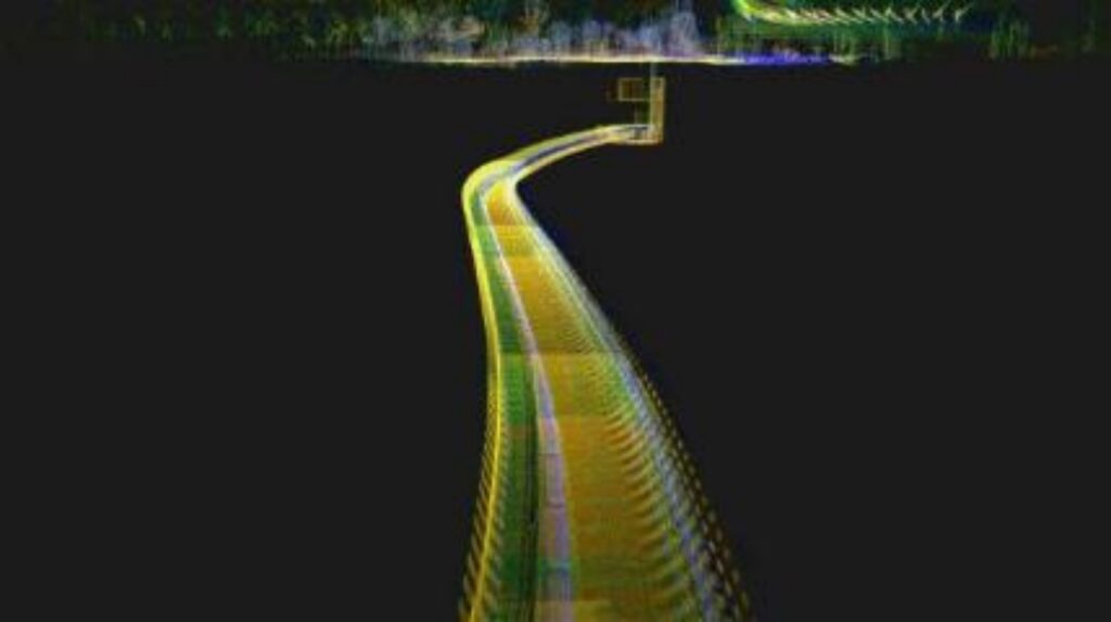
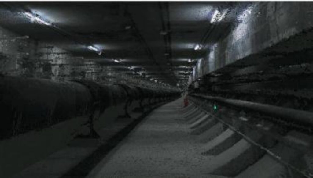
Efficiently constructing point clouds and real-life 3D models of concealed spaces such as underground pipelines and civil air defense facilities to assist urban planning and underground resource management.
Underground space construction: Accurately measure the layout and dimensions of underground parking lots, civil defense passages, subway stations, etc., providing a basis for new construction and upgrading, and improving space utilization.
Urban comprehensive management: Integrate underground space data, construct 3D models, achieve visual management, and assist in overall planning and resource allocation.
Underground/indoor facility operation and maintenance: When installing new equipment or renovating existing facilities, accurately measure installation dimensions to ensure compatibility, support maintenance and repair, and ensure safe operation.
Underground/Indoor Safety Assessment: In the event of a disaster or accident, quickly obtain detailed information about the underground space to provide a basis for safety assessment and archive it.
Efficient
The collection efficiency is increased by 5-8 times, and it is easy to carry. A single person can complete the data collection of complex scenes.
Convenient collection
Easy field operation, real-time true color point cloud, what is collected is what is obtained; The fusion algorithm of laser and visual Multi SLAM has high point cloud accuracy and precise coloring.
Efficient processing
Support map fusion and multiple data synchronization calculations; One click output of RCP format, directly connected to AutoCAD drawing software.
Rich achievements
The three-dimensional point cloud and model results have rich structures, clear textures, comprehensive restoration of real scenes, and strong data reusability.
Film and Television Entertainment
AR/VR
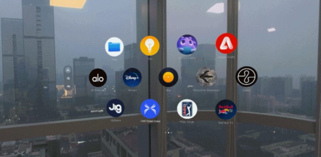
Integrating Multi SLAM and 3D Gaussian rendering technology to reconstruct high-precision 3D scenes, quickly meeting the needs of VR/AR scene construction.
LCC data import: Supports importing 3D scenes in Pixel Cyber Color (. lcc) format, rendering high-precision 3D Gaussian scenes, and smoothly presenting VR reality.
Multi dimensional interaction support: compatible with gesture recognition and VR controller operation, compatible with Pico and Quest, supports grasping, zooming, rotating, and menu/roaming interaction.
One click quick return: Supports joystick shortcut keys and UI buttons to quickly return to the birthplace and improve navigation efficiency in large scenes.
Immersive roaming: Using a first person perspective, the controller controls character movement and viewpoint adjustment, allowing for a seamless experience in immersive 3D scenes.
Flexible perspective rotation: Provides fixed rotation and free rotation modes to optimize the VR experience, reduce dizziness, and adapt to different user habits.
Convenient scene management: Supports free publishing, removal, or hiding of scenes, as well as bookmarking of interesting scenes for easy access, ensuring flexible and secure content management.
Compatible with Pico 4 Ultra&Quest 3
Adapt to Pico 4 Ultra and Meta Quest 3, fully utilize device hardware performance, achieve high-precision spatial roaming, optimize 3DGS large scene rendering, and provide a smoother and more immersive interactive experience.
Multi-Language Support
Support language switching between Chinese and English, and can expand more language options according to needs. All interface text, interactive prompts, and operation guides can be localized to suit the habits of users in different regions.
Direct reading of local scene files
Local. lcc format scene files can be opened directly on VR devices without additional conversion, ensuring efficient loading and seamless use, greatly improving operational convenience.
Film and Television Scenery&Pre shooting
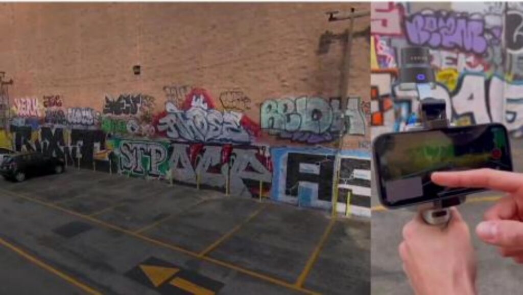
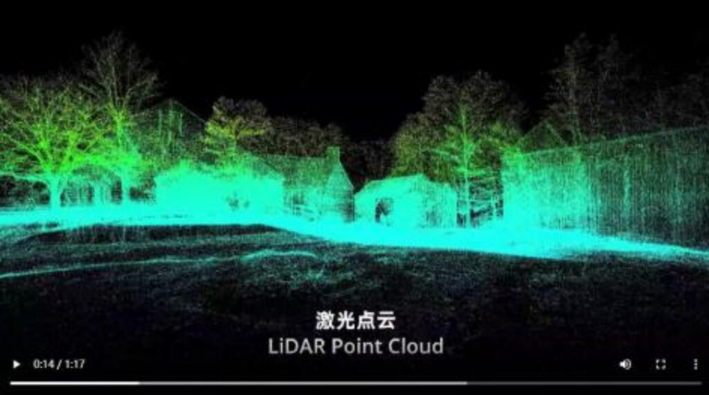
Based on the laser+visual Multi SLAM algorithm, efficiently and cost effectively obtain 3D Gaussian real-world models, accurately restore shooting locations, and assist in film and television production
Scenery of the film and television industry: Quickly scan the venue, generate high-precision 3D models with one click, and achieve shared browsing among multiple people and terminals. The 3D Gaussian model supports rich interactive interfaces and can be embedded with various data sources such as text, images, videos, etc., enhancing the immersive interactive experience.
Simulated camera movement: With the support of software Lixel CyberColor, it supports simulated camera movement, keyframe setting, and video export, helping to accurately plan the trajectory of camera movements.
Space measurement and prop placement: By faithfully reproducing the scene in a 1:1 ratio, it is possible to accurately measure distance, area, and volume, quickly obtain scene information, and assist in prop placement and layout optimization.
Actor positioning and on-site scheduling: compatible with mainstream rendering engines such as Unreal Engine and Unity, supporting multiple data overlay applications. Digital characters can be added to the scene to simulate actor movements, achieving efficient on-site scheduling and shooting planning.
High precision and realism
By combining LiDAR data with 3DGS modeling technology, centimeter level accuracy and photo level realism can be achieved, making it suitable for precise exploration of complex scenes.
Large scale scene support
Compared to pure visual modeling, the Lingguang Lixel series products can quickly collect and process large-scale scene data, efficiently adapting to various application needs.
Seamless integration with virtual production
By directly importing scene models through the Lixel CyberColor Unreal SDK, the entire process from landscape exploration to virtual shooting can be integrated, improving production efficiency and visual quality.
Emergency firefighting
Public security firefighting on-site inspection
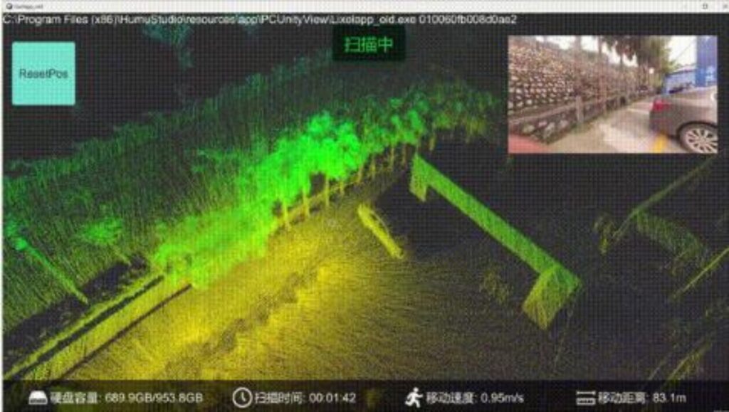
Integrating laser point cloud and 3D Gaussian high-precision modeling technology, efficiently, high-definition, and automatically replicating accident scenes to assist in investigation, evidence collection, and analysis.
Criminal case investigation: applicable to the fine three-dimensional reconstruction and evidence retention of criminal case scenes. Through high-precision scanning and modeling technology, the scene of the case can be quickly replicated, supporting functions such as evidence annotation (such as bloodstains, physical evidence location), simulation (such as character movement restoration), and generating roaming videos. Suitable for crime scene analysis, courtroom evidence display, and police training.
Traffic accident investigation: Provide fast collection and evidence collection, 3D modeling, and accurate measurement functions for complex traffic accident scenes. Meet the needs of rapid on-site investigation, realistic restoration of accident scenes, simulation and emulation.
Fire accident investigation: rapid 3D archiving and analysis of vulnerable scenes after a fire, applied to tasks such as on-site replication, analysis of ignition points, and restoration of spatial relationships of physical evidence. By annotating the path of fire spread and extracting key parameters (such as burn height or area) in the 3D model, we can assist fire control experts in remote collaboration and fully solve the problems of poor evidence continuity and limited remote support.
Simple operation
Simple and convenient collection method, fully automated modeling, significantly reducing workload.
accurate measurement
The collected 3D data has high accuracy, meeting the precision requirements for on-site inspections by public security and fire departments.
Spatial distribution of evidence
Add text, photos, videos, etc. to the 3D model to visually display the spatial distribution of evidence.
Simulation restoration
Add 3D models of characters, vehicles, physical evidence, etc. for simulation, export roaming videos for on-site replication, evidence display, visual reporting, courtroom display, and police training, etc.
Energy Mining
Smart Mining
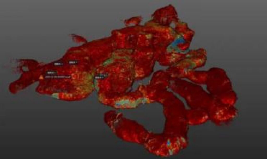
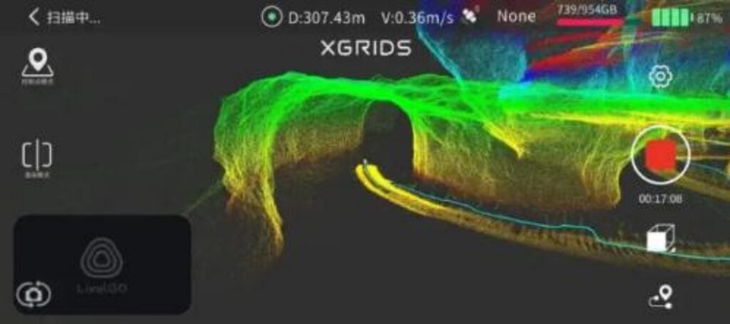
Efficiently constructing a digital twin of surface and underground real scenes in mines, achieving measurement, simulation and intelligent management throughout the entire lifecycle, and improving safety and decision-making efficiency.
Mining planning: Accurately measuring the terrain and geological structure of the mining area, helping enterprises to plan mining areas and routes reasonably, and improving mining efficiency.
Mining operation monitoring: Real time monitoring of equipment location, trajectory, and ore accumulation to ensure that mining proceeds as planned and abnormal behavior is corrected in a timely manner.
Mine safety management: continuous monitoring of slope and goaf deformation, warning of geological disasters such as collapses and landslides, and ensuring the safety of personnel and equipment.
Equipment maintenance management: Scan and model mining equipment to obtain structural dimension information, provide accurate data for equipment maintenance, and reduce failure rates.
Resource reserve assessment: Regularly measure ore reserves, evaluate remaining reserves based on mining data, and provide a basis for production planning and resource allocation.
Efficient
The collection efficiency is increased by 5-8 times, and it is easy to carry. A single person can complete the data collection of complex scenes.
Convenient collection
Easy field operation, real-time true color point cloud, what is collected is what is obtained; The fusion algorithm of laser and visual Multi SLAM has high point cloud accuracy and precise coloring.
Efficient processing
Support map fusion and multiple data synchronization calculations; One click output of RCP format, quickly complete vector production of mine section, waistline diagram, floor plan, etc.
Rich achievements
The three-dimensional point cloud and model results have rich structures, clear textures, comprehensive restoration of real scenes, and strong data reusability.
Water Conservancy
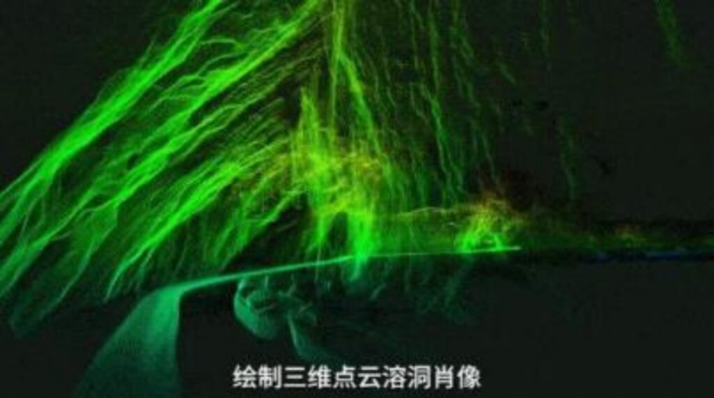
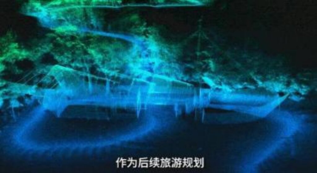
Utilizing airborne and handheld 3D scanning devices to achieve real-time high-precision modeling, precise monitoring of dam structures, and enhance water safety management capabilities.
Flood season embankment inspection: Through the fusion technology of laser radar and thermal infrared, regular inspections and modeling of embankments can be carried out to timely detect dam failure risks such as piping and leakage, as well as potential hazards.
Rapid investigation of dangerous situations: In the event of a flood disaster, when the dam collapses or breaches, it is necessary to quickly obtain key data such as the location, volume, and erosion range of the breach, in order to provide accurate support for the allocation of emergency rescue materials and the design of sealing plans. By using handheld and airborne 3D laser scanners, high-precision 3D data can be obtained in real-time on site.
High precision scanning and modeling
The handheld Lingguang L2Pro/K1 device can penetrate deep into the area near the breach, scan the details of soil collapse and cracks, generate centimeter level 3D models in real time, and automatically calculate key data such as area and soil volume.
Regular inspections and dynamic risk monitoring
The drone is equipped with Lingxun S1, which conducts regular inspections of embankments and dynamically monitors the risk of secondary disasters; Once a disaster occurs, the real-time generated 3D models, photos, and thermal imaging data can be directly transmitted to the command center.
Accurate digital archiving
High precision 3D digital archiving shall be carried out on the surface cracks, seepage points and other hazardous sites of the dam to ensure complete and traceable data.
